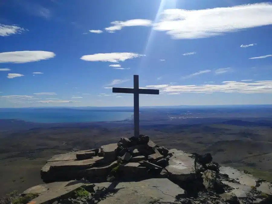
Ascent San Bernardo Peak – Sarmiento
- By amadorjose
🥾 A steppe summit with panoramic views embracing valleys, lakes, and the Patagonian plateau.
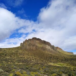
Located west of Sarmiento, Cerro San Bernardo stands out as a natural icon of the central Patagonian landscape. With an altitude of around 1,100 m above sea level, this mountainous formation offers a demanding, immersive, and solitary experience, ideal for national and international tourists seeking authentic and challenging hiking.
🏞️ Why climb San Bernardo Peak?
Effort with visual reward: A circular route of about 20–22 km with a positive elevation gain of between 860–910 m, taking between 4 and 9 hours depending on pace and chosen section.
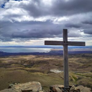
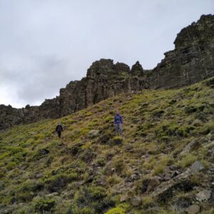
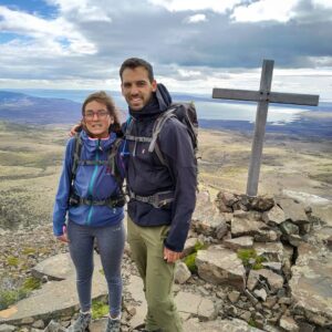
Landscape dominated by vastness and steppe: The hike passes through areas without marked trails—cross-country terrain and steep slopes—and ends with panoramic views that connect the valley, Lake Musters, Colhué Huapi, and the Patagonian hills.
Local flora and fauna: During the ascent, native species can be observed, and the slopes feature shrublands characteristic of the central Patagonian region.
Feeling of intimate connection with nature: The route has no formal signage, enhancing the sense of genuine adventure and connection with a minimally altered environment, rewarded with a 5-star rating from visitors
🧭Practical information | |
|---|---|
| Starting Point: | Provincial or national route near Sarmiento (RP 26 or Route 26) |
| Distance and duration | 20–22 km circular • 4–9 h depending on pace and section |
| Positive elevation gain | 860–910 m |
| Difficulty | Medium – High: cross-country, steep sections. |
| Ideal season | Spring–summer (October to March), avoid adverse conditions. |
| What to bring | Sturdy footwear, water, sun protection, cap, trekking poles (recommended) |